Secret Solway encounters with hidden coastal history

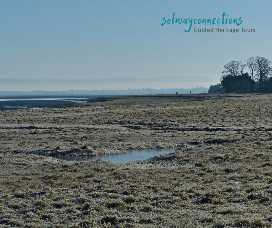
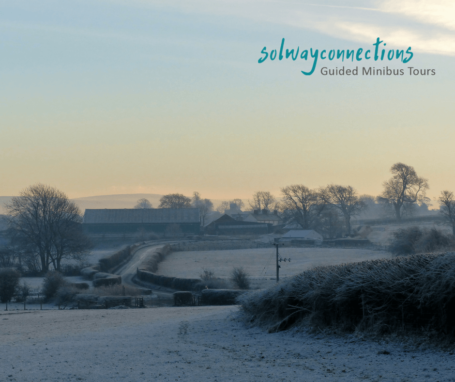
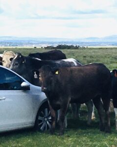
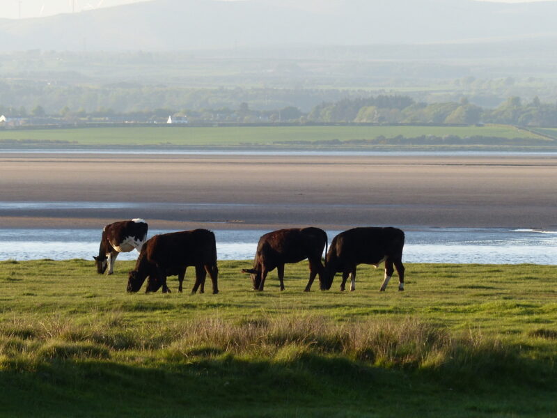
The natural resources of the Solway coastal lands, from the stone, iron ore and coal, to the fishing and rich farmland of the Solway coastal plains have over the centuries provided a way of life for the people living in this part of Scotland and England.

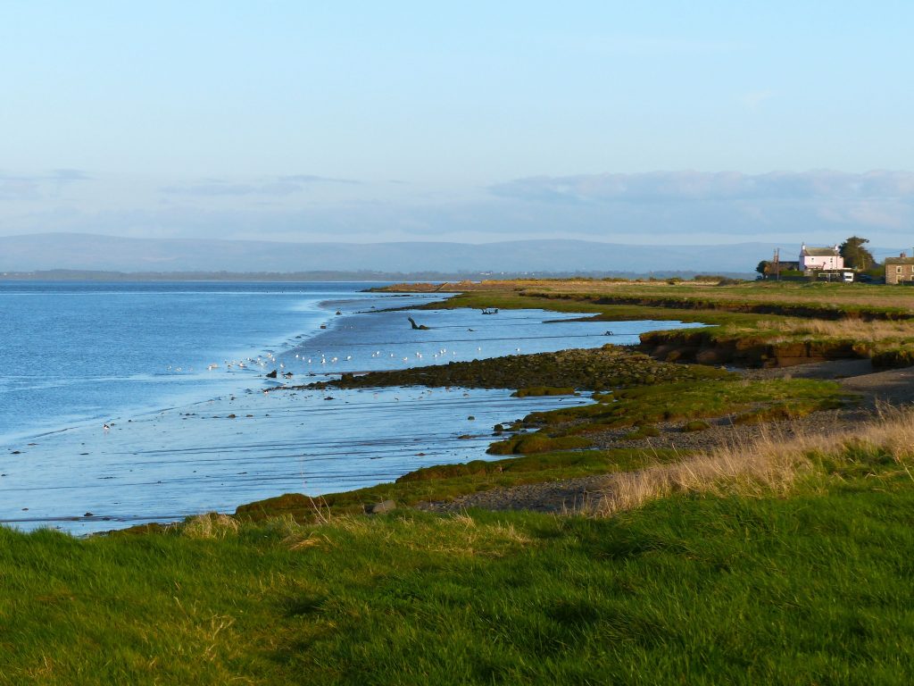
Other important influences on the lives of the coastal communities of Dumfries and Galloway, south west Scotland and Cumbria in north west England have been the accessibility and strategic value of the geographic location of the Solway.  As a west coast location distant from the seats of power in Edinburgh and London,  but close to Ireland and the Atlantic Ocean, the Solway area has historically experienced waves of migration of different groups of people.  Romans, Vikings, Normans….. right through to World War 2 when people from many different countries arrived on the Solway shores in support of the nation's war effort. All have left their mark.  The North American and Canadian transAtlantic connections also created emigration and trade opportunities which shaped the lifestyle and economic activities of the local Solway communities. 

For as long as I can remember I have been intrigued by the influences that shape local cultural identities in different parts of the world.   I delve into the history and stories of the Solway through my work as a local tour guide, researching how local people lived and the wider processes that shaped their lives. Not surprisingly I frequently find the answers to the questions I ask relate to the Solway location, landscape and waters.  For centuries the sea and land have given communities life through fishing, or ship building, mining or farming and more.... 

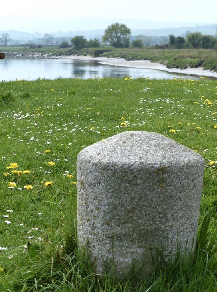
There are many, often quite forgotten, coastal sites such as the remains of tiny jetties, small quaysides and under-used harbours dotted along both the English and Scottish Solway coastlines. These less well known localities stand as testament to the people who through the centuries have survived in this beautiful remote area. Each place telling it’s own unique story of the Solway people who have lived here. As a local tour guide part of my role is to interpret the clues hidden in the landscape and explain their significance

The following photographs offer a tiny glimpse of the rich layered Solway coastal history, and fascinating places and stories that visitors to the area can encounter on my Secret Solway tours and my Solwayconnections Scottish coast and waters tour.  

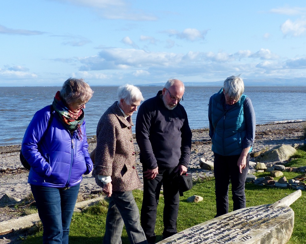
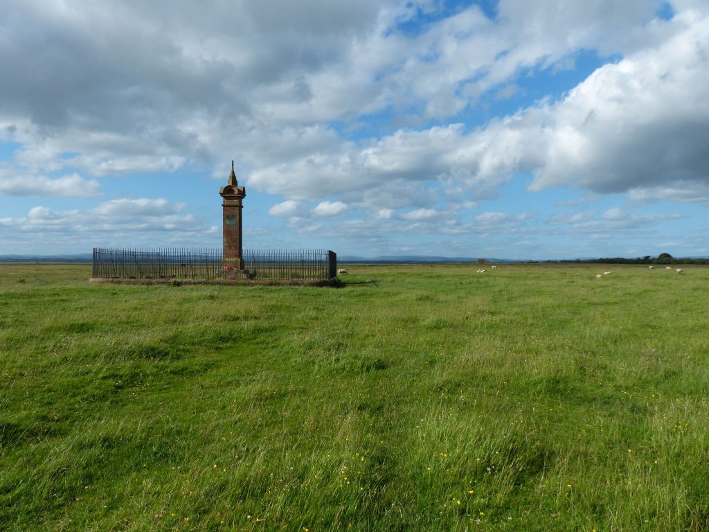
In Scotland in a tiny north Solway coastal community, founded in Viking times, near the mouth of the River Nith is a wooden sculpture covered in Scottish family names.   A reminder of the people who in the 1700s at this site, took their last few steps on Scottish soil before boarding a fine sailing ship for their brave transAtlantic journey to a new life in Canada.

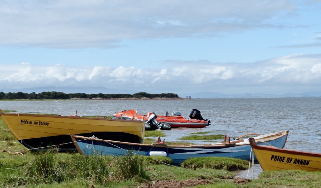
Boats of different sizes still cram into a now silted up siding on the River Urr off the Dumfries and Galloway Solway coast.  These days a quiet sleepy village looks over the quayside. In the 1650s this tiny quayside was an export point for locally made mill stones.  By the mid 1800s vessels up to 350 tons would moor here, importing and exporting goods and creating a place which was alive with the bustle and noise of people at work.  Historically barrels of treacle were one of the imports that would arrive here and due to some leaking on to the dock a nick name in the past that was given to the people from this village was  'The Treacle Trampers'.

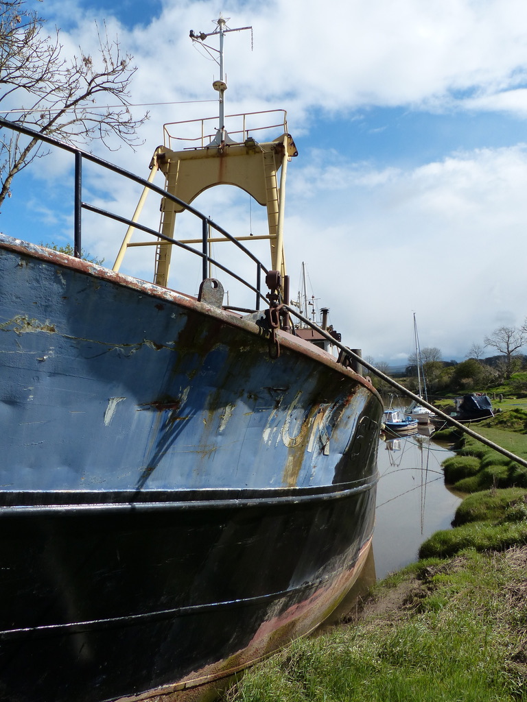
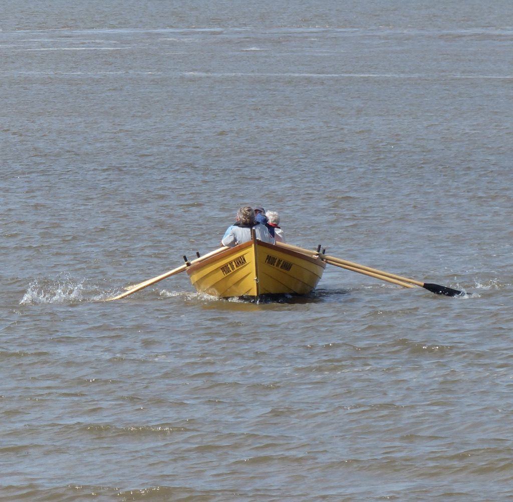
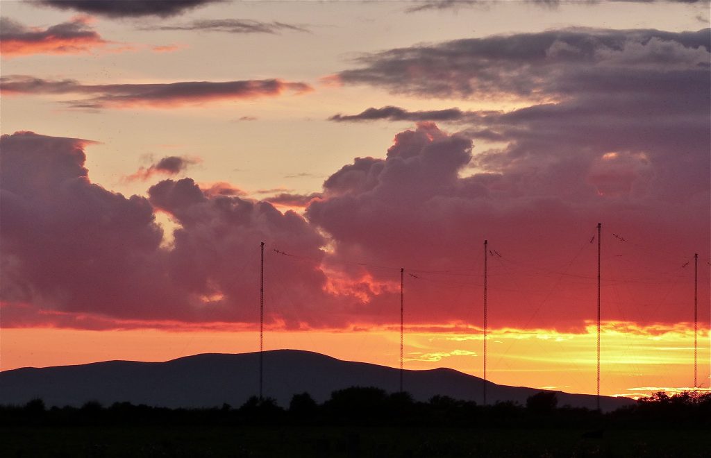
Great stones set by the wide river Nith in Dumfries and Galloway, Scotland – mooring points and reminders of the fine local and international sail and steam ships that once frequented the Solway waters.  Shipbuilding and seamanship were a significant part of Solway economic history for centuries.  Archeologists think dug out canoes were an early form of local Solway transport. The Romans are believed to have used small locally made boats to move goods around the Solway.  The Vikings were a seafaring people who arrived on the Solway shores. The legacy of local boat and ship building history from the 1700s can still be seen today right around the Solway coast in both Cumbria, England and Dumfries and Galloway in Scotland.  Solway built craft travelled the world and the crews on the locally built ships were famous for their seamanship.  Crew lists from the early 1800s show a mixture of men from both the English and the Scottish sides of the Solway working together on different ships.

Solwayconnections guided toursStill home to a small number of fishing boats, pretty Maryport harbour on the coast of north west Cumbria was one of the main shipbuilding centres on the English Solway coast.  Different ship building yards produced many fine ships that travelled the world.   Seafaring life or work attached to shipbuilding created prosperity for those that lived in Maryport in the boom years of the early 1800s and greatly improved life expectations and longevity. Some local Maryporters of the time lived past 100 years of age.  Quite an achievement in that era.  As well as also being the site of a Roman fort one of Maryport's many claims to fame is also a connection with the ill fated Titanic.

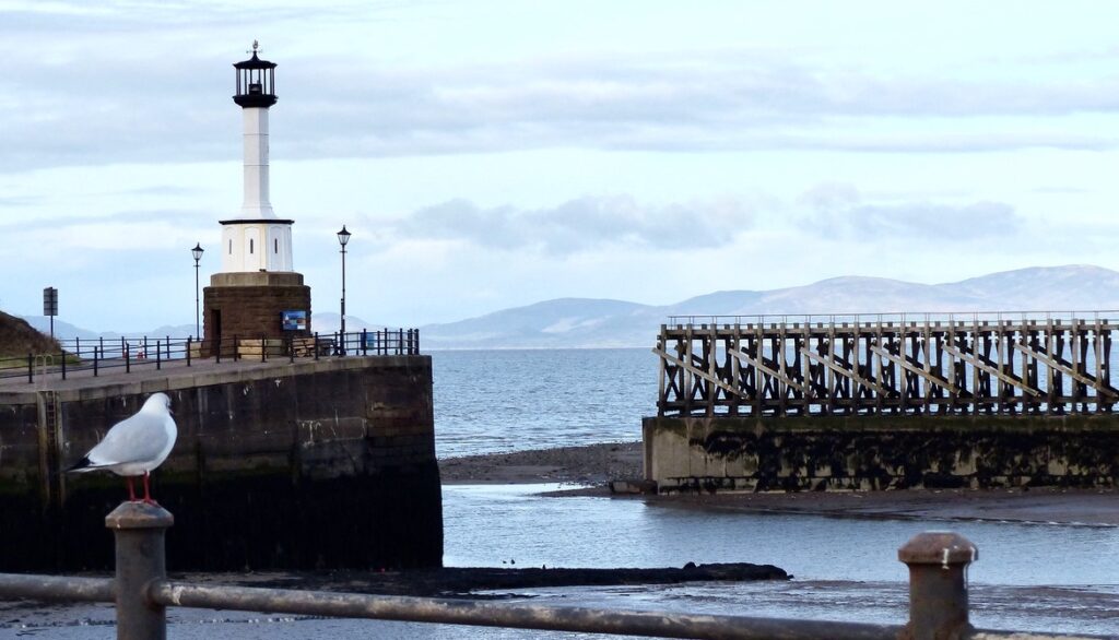
Silloth on Solway is another coastal town on the English Solway coast. It was developed on the arrival of the railway line for a dual purpose.  The deep water harbour was designed to facilitate international trade and coastal connections for the city of Carlisle.  Most of the township was built as a Victorian spa tourist destination.  Nicknamed the 'Cumbrian Riviera' Silloth's early appeal was to rich upper class tourists and then after the wars it became a more popular destination for working families.  The strategic importance of the location of Silloth meant that during world war 2 Silloth had an influx of transAtlantic visitors - fighter pilots, trainers, mechanics, air transport delivery auxiliaries (sometimes women pilots).  The walk way along Silloth sea front still has fine views across the Solway waters to Scotland and for those World War 2 military personnel working in the town would have offered a place for relaxation and possibly even romance.  Please contact me if you would like to book a guided walk of Silloth on Solway to find out more about the history of this interesting town.


To find out more about a Solwayconnections Guided Tour please email fiona@solwayconnections.co.uk or phone (uk code) 07494489901.

Lifestock of the Solway salt marshes

Solwayconnections guided tours

Immersed in the difficulties of the last year it has sometimes been easy to forget that the natural world and Solway rural life, in spite of the pandemic, have retained their seasonal patterns.  The lunar cycle continues and the moon has waxed and waned resulting in the daily rise and fall of the Solway estuary tides. Temperatures have grown cold and then ever so slightly warmer.   Crops have been planted, harvested and planted again. The Solway farmers moved their animals inside for the winter months.  Now the annual cycle of the farmers year sees lambs and calves in the fields and cattle back out grazing on the Cumbrian salt marshes. Another Solway spring has emerged from the cold, dark winter months.

I love that the grazing of cattle and sheep on the Cumbrian Solway salt marshes  in England is part of an ancient tradition that has endured for centuries, wherein each year farmers have to bid at an auction for a number of ‘stints’. The purchase of one stint allows a farmer summer salt marsh grazing for 1 beast (cattle) or 2.5 sheep. This means that the cattle and sheep you see on some Solway salt marshes in the summer months, are owned by a mix of farmers. 

In May the cattle go out to graze on the wide-open salt marsh grasslands next to the Solway estuary waters and sands. Initially they seem to be slightly nervous and stay closer together.  As time passes and late spring turns into summer, the cattle start to appear a little more relaxed and they disperse across the marshes, sometimes wandering on to the Solway estuary sands at low tide.  Very occasionally small groups of bullocks have been known to visit the Scottish Solway coast by walking at low tide over this unpredictable and treacherous part of the border between England and Scotland. An activity that tends to result in a convoy of local Cumbrian farmers driving cattle trailers around to the Dumfries and Galloway coast in Scotland to collect their beasts and bring them back to the English side of the Solway. I have also been told stories of the local emergency services having to help extract cattle that have become mired in the Solway estuary sinking sands.

A lack of road awareness is a consistent theme amongst the cattle and sheep that graze the salt marshes.  In their world cars, trucks and motorbikes are clearly not seen as the danger that they are. Unfortunately this has resulted in a number of accidents (usually fatal for the animals) due to vehicles travelling too fast along the causeway roads that cross various Solway salt marshes.  For some unexplained reason the cattle  seem to particularly  like congregating in groups on the road in the evenings as the sun sets. Sheep and bullocks can however saunter across the salt marsh roads at any time of day.

Another recurring theme amongst these young beasts is their liking for parked cars.  Windscreen wipers seem to hold a particular fascination.

On a number of occasions I have seen walkers who, on returning to their vehicle parked on the edge of the salt marsh, are confronted by a semi-circle of bullocks fanning out from their car. 


Having enjoyed long winter walks on the local salt marshes, the return of the cattle to the Solway coastal grazing heralds a change for me in how I approach my walking in these areas. Part of the reason for this is because the salt marsh cattle can sometimes be over-curious about walkers.  People walking dogs on the marsh can be of particular interest and I have seen dog walkers being studiously and very closely followed by groups of attentive bullocks. For these reasons, if out walking on the salt marshes in the summer months, I tend to pick areas for my walks that are cattle and sheep free. Avoiding getting close to grazing animals and thereby avoiding any problems.

The Solway salt marshes have an incredibly rich heritage which includes different historic military campaigns, horse and hound racing, various forms of transport and local food production.  I occasionally lead guided heritage walks out onto Burgh salt marsh near Burgh by Sands.  Factoring in the avoidance of Solway high tides and the seasonal grazing of the cattle, these guided walks tend to take place in early spring or late autumn - before and after the cattle grazing season.  If you are interested in finding out more about  the grazing of livestock on Burgh salt marsh, perhaps grab a cuppa, find a comfy chair and have a listen to this BBC radio programme.

Burnswark a hill with stories

This photograph was taken from near Bowness on Solway in Cumbria, England and the distinctive hill seen on the skyline is called Burnswark and is near Lockerbie about 10 miles north of Annan in south west Scotland on the north side of the Solway estuary. Burnswark is a hill that can be seen from many different places on the Solway coast and over time it has become a place of intrigue for me and somewhere that I was keen to visit.

Whilst attending a great talk at the West Cumbria Archeological Society  about the Caledonian hill fort which once stood on the top of the Burnswark plateau I learned about the demise of the small native British community who lived on top of the hill until the time just after the death of Emperor Hadrian (of Hadrian’s Wall fame) who died in AD 138.

After Hadrian died Antoninus Pius took the throne of Rome and it is during his reign that the removal of the community living on Burnswark hill plateau is believed to have taken place.  Evidence of Roman army camps have been found to both the north and the south sides of Burnswark and the events that took place there have been contested for many centuries by different archeologists.    Early surveys of Burnswark suggested to archeologists that the hill had been a Roman military practice ground or a seige site. Recent finds of substantial amounts of Roman sling bullets and ballista have however produced a new theory that an assault by Roman legions destroyed the native British community living in a fort on the hill.

Armed with this knowledge, I decided I had to pay a visit to Burnswark. So on a clear frosty November morning my old dad and I drove to the Lockerbie area, parked the car, donned our boots and walked the short path up onto Burnswark hilltop. It was beautiful and did not disappoint.  A stunning full 360 degree view looking across to the Cumbrian Lake District fells, taking in the length of the Solway – we thought we could see as far as Workington to the south in Cumbria – and a distant view of Criffel in south west Scotland. North into the Scottish Borders and south east views of the northern Pennine hills. Very splendid.  When the Covid 19 lockdown allows I hope very much to revisit this place to once again take in the fabulous views of the Solway estuary, Borders and northern hills that it offers.

Solway skiffs

A traditional form of transport on the Solway – a St Ayles skiff

Nowadays the views across the Solway, whilst expansive and magnificent, take in only a few passing boats or ships.  It is easy to think that the waters of the Solway have always been quiet, and without much traffic.  The Solway however has a rich maritime trade history and boat building past.  Maryport in Cumbria and Annan in Scotland both having been important ship building sites producing wonderful sailing ships and grand steamers which travelled the globe.

Another type of craft which would frequently have been seen on the Solway estuary and coastline were small rowing boats,  which today are known as St Ayles skiffs, designed to transport both goods and people.

Alan Thompson of the Annan Harbour Action group explained some of the history of these small crafts

 “St Ayles skiffs were first designed and built in 2010 paying homage to the Orkney yawls and their predecessors, so the vikings would have used similar boats to dot about the Solway a thousand years ago. In the past 200 years though most Solway crossings would be by punt. These  looked similar to our skiffs other than having a transom and were  most generally designed for one person to row with two oars. When the fishermen from Morecambe Bay colonised our side in the mid 1850s they eschewed conventional rowing as this prevented them seeing where they were going and used a technique called sculling with a single oar from the transom, with a similar stance and motion to a Venetian gondolier. Perhaps it was this technique that  led to punt becoming the common term for rowing boats.”


Whilst there are a number of forgotten walking routes or ‘waths’ that for centuries have been used to cross the Solway on foot.  These routes were known to be a dangerous option having over the years taken many lives when the speed of the incoming tide or the line of the route across the sands was misjudged. Similarly travel on land around the Solway coast during the turbulent centuries suffered in the UK Borderlands was a perilous activity.  A rowing boat or punt would for many people have been the transport mode of choice for travelling along the coast or across the estuary – far safer than travelling on land.

Travel by boat would not however have been without it’s perils, with the tidal drag of the estuary constantly changing the lines of the deepest channels, moving sand banks, creating new shallows, eddies and flows.   Add to this mix the sometimes unpredictable and stormy nature of the coastal weather and it’s clear that knowledge and skill have always been essential for safe travel by boat on the Solway waters.

A story that illustrates the dangers of crossing the Solway in a rowing boat is that of a love smitten couple – John Edgar and Jean Scott – who in 1771 decided to elope to Gretna Green  to get married. The marriage laws in Scotland being different at that time to those of England.  To avoid angry parents who wanted to prevent the wedding, the young people chose to hire a boat and crew to row them the short distance from Burgh by Sands marsh in Cumbria, England across the waters to Gretna Green where they could be married legally under Scottish law.  Their parents found out about the plans, pursued the couple and also hired a Solway boat and oarsmen to take chase across the estuary.  A Solway storm was brewing, whipping up waves.  The eloping couple, drawing on the skill of their crew whilst still pursued, fought their way through the waves and arrived safely in Gretna Green where they were married.  Unbeknown to them the boat pursuing them capsized in the storm. This resulted in the drowning of one of the oarsmen.  It is not known if the young married couple ever returned to England or if they heard about the tragic incident associated with their elopement.

Occasionally these days it is still possible to see traditionally built  St Ayles skiffs being rowed along the Solway coastline.  In late summer you might get a sighting of small boats rowed by teams of four with a cox steering them, making their way out into the middle of the estuary on a crossing from Annan harbour in Scotland to Bowness on Solway in Cumbria, England – all taking part in an event that marks a locally notorious theft of the Bowness and Dornock Church bells in 1626.  

Outlaw King Solway Secrets

Heritage sites around both the Scottish and the English sides of the Solway coast have significant links to Robert the Bruce and Edward I.  One such site in Cumbria is the abbey in the photograph below. This is where the father of Robert the Bruce,  the Earl of Carrick, was buried and which in later years was also raided by  his son ‘The Bruce’.

The abbey where the father of Robert the Bruce is buried

Edward I was not buried at the site of his death as shown in the new Netflix film Outlaw King. His body was taken to the nearest church, which was in Cumbria, and there lay in state until the arrival of his son Edward II, who then took the remains of his father to Westminster for a royal funeral.

You can experience these places and learn more about their connections with Robert the Bruce and Edward I by booking a Secret Solway guided tour.  To find out more about Secret Solway tours email  info@solwayconnections.co.uk or phone (+44)07494489901.  www.solwayconnections.co.uk


Capturing Criffel

Views from the Cumbrian coast across the Solway estuary to Criffel a 570m hill in Dumfries and Galloway are worth savouring. This is a hill with a majestic outline that draws the eye to the west as you journey around the Cumbrian coastal plains on a Secret Solway Tour.

Looking across the Solway estuary to South West Scotland, the seasons and the changing light give differing personalities to Criffel. On a soft, calm misty morning Criffel can almost float in a suspended state above the estuary, seeming like ‘middle earth’ to those of a Tolkien persuasion. On summer evenings Criffel becomes a slumbering dragon with a wondrous fiery sun setting behind it. On stormy grey winter days Criffel turns into a foreboding and implacable being.  Sometimes mystical, secret, or serene, and always changing, fascination for the mercurial nature of Criffel has made photographing this beautiful hill a favourite Secret Solway pastime.

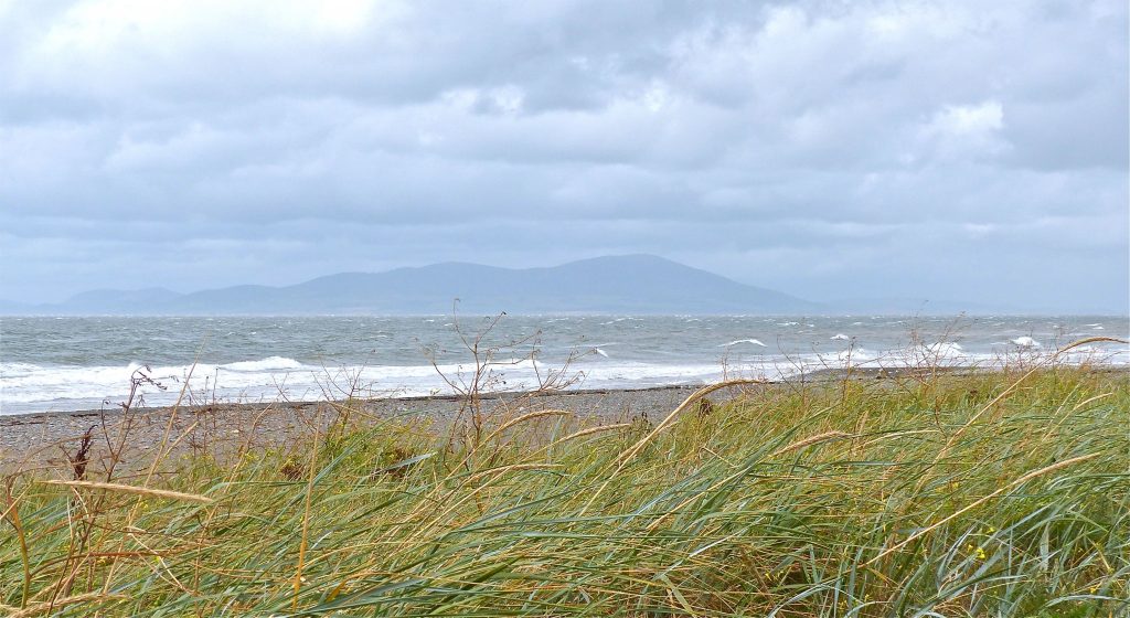
The name Criffel is thought to be from Norse language, meaning ‘Crow’s hill’. With flanks covered in bog cotton,heather and bilberry, inhabited by skylarks, Criffel looking down over Loch Kindar and across the Solway Firth to Cumbria in England, has born witness to the deeds of many through the centuries. The lives of the Carvetti tribe or ‘Deer people’ who lived on the Cumbrian Solway plains and the Novantae tribe of south west Scotland would have been watched over by Criffel. As would the arrival of the Romans, and then the Vikings to the Solway shores. Viewing the passage of pilgrims, reivers, smugglers and others, Criffel has also born witness to the tragedy of lost lives of many fighters and travellers who through the ages failed to safely cross over the dangerous sands and waters of the Solway estuary. A hill with tales to tell and a reason for visiting the Cumbrian Secret Solway coast.


Secret Solway Stories: Burgh Marsh Races and a celebrity visitor


This is a photograph of Burgh marsh, near Burgh by Sands on the Cumbrian side of the Solway Firth,  an isolated and windswept spot, where a lonely monument marks the death in 1307 of the Plantagenet King Edward I.  This is also the place where the legendary racehorse Red Rum, 3 times winner of the UK Grand National race, once paid a visit.

Burgh marsh has a long history of horse racing dating back to the 1690s. To raise money for Cancer research and to celebrate the racing history of the area the Burgh by Sands Cancer Research Charity committee, in 1978, decided they would organize a commemorative race meet to take place once more on the original course on the nearby marsh. Somebody suggested Red Rum the famous race horse, who by this time was retired from racing, should be invited to the Burgh Marsh race meet as an equine celebrity. A plan was hatched. Ginger McCain who had trained Red Rum was duly contacted.  Nobody really thought that Ginger would agree to bringing this valuable horse to the village race meet, but much to everyone’s surprise – he did agree, and for the fee of £300 said that he would be pleased to transport his valuable ward to Burgh marsh race meet.

On the day of the races it was windy and wet in the morning and there was some concern about the impact of the weather on the racing.  Everyone waited and looked out for the horsebox that would signal the arrival of the famous guest.   Worried looks were beginning to spread across the faces of the organisers who had contacted newspapers and had journalists arriving to cover the story for the local press.  Suddenly the horsebox appeared in the distance making it’s way through the country lanes to the gateway on to the Marsh.  Red Rum had arrived.  The sun came out. Crowds of people travelled from Carlisle and local villages to see the famous racer.  All went to plan, the day was a huge success raising much money for Cancer Research, and local history was made –  September 3rd 1978  the day when  the famous Red Rum,  giant celebrity of the horse racing world, spent the day as the star guest at Burgh marsh races.

Signs of spring on the Solway


At last it feels like spring has arrived.   Longer days and warmer weather for walking next to the lovely Solway Estuary. The Barnacle geese have started heading north  on their long flight to summer nesting sites.  Chiffchaff and other summer migrants are beginning to arrive.   Jackdaws are busy building nests.  Wetland pools full of frogspawn and emerging tadpoles.  Spring flowers, trees bursting into leaf.  So much to see and a great time of year to explore the Cumbrian Solway coast and wetlands on a Secret Solway Tour.

Frosty Solway mornings

If you are wearing lots of warm clothes, the cold, clear, frosty mornings of winter have been great for walking on the Solway salt marshes and along forgotten drovers lanes.  A combination of the early morning light, frost and chance encounters with local inhabitants makes for magical moments.

Secret Solway Tours

A good winter on the Solway for seeing Barnacle geese


This year has been particularly good for seeing Barnacle geese on the Solway.

The numbers on the Solway have risen to over 43,000, which is excellent news given how threatened this population of geese was some 30 or so years ago.

This year the geese seem to have been very amenable for folks who want to take photographs.  Their use of spaces close to the road and  near to  concealed footpaths has been most helpful.

In a couple of months time the Barnacle geese will start to disappear from the Solway coastline as they once again make their long flight to Svalbard in the Arctic for the breeding season.  This is a marker of seasonal change on the Solway, indicating a move out of winter and the arrival spring.

Secret Solway Tours